| Free From | sofort |
|---|
| Property Area | 29279 m² |
|---|
| Selling Price | 185.000 € |
|---|---|
| Courtage | no courtage for buyers |
Baugrundstück in Oelsig (Amt Schlieben)
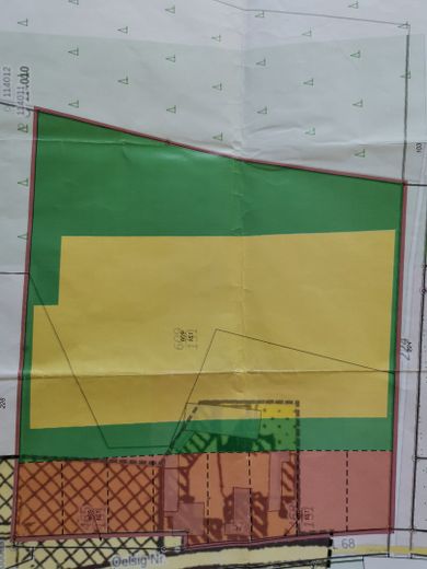
Gesamtfläche: 29.279 m²
Bebaubare Fläche: 12.249 m²
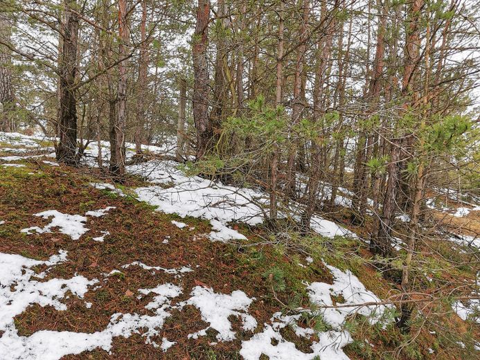
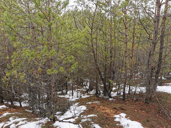
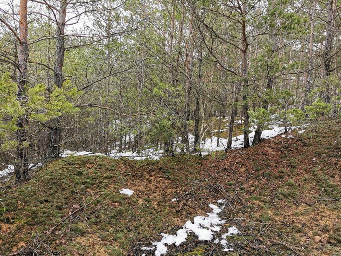
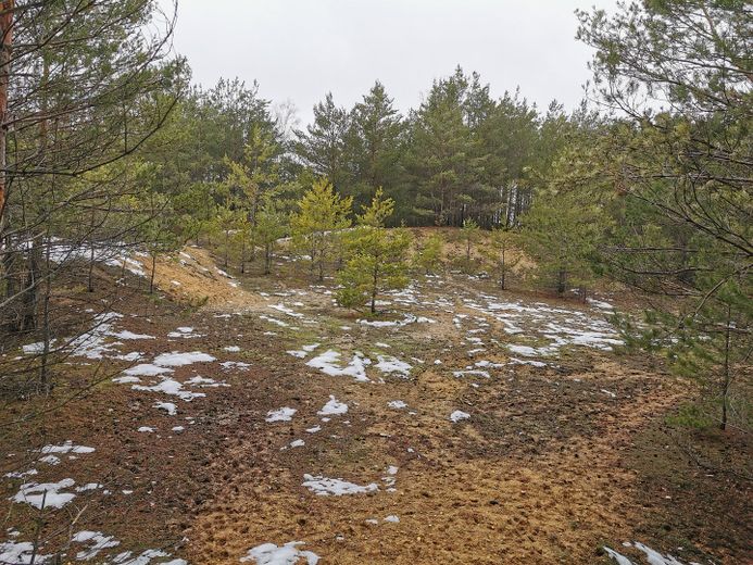
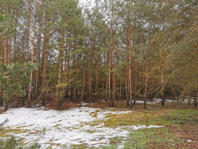
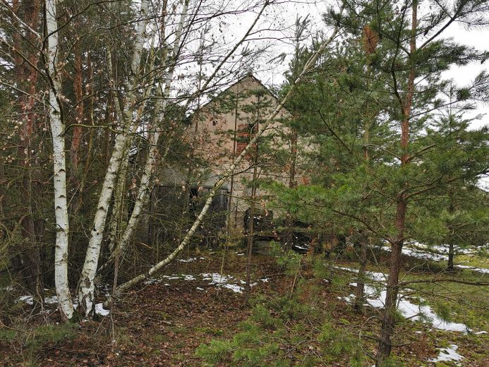
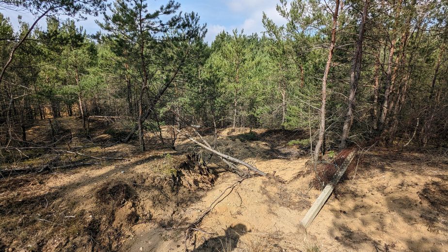
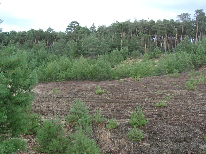
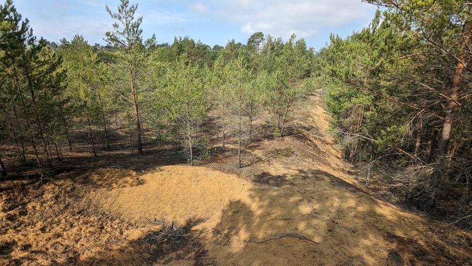
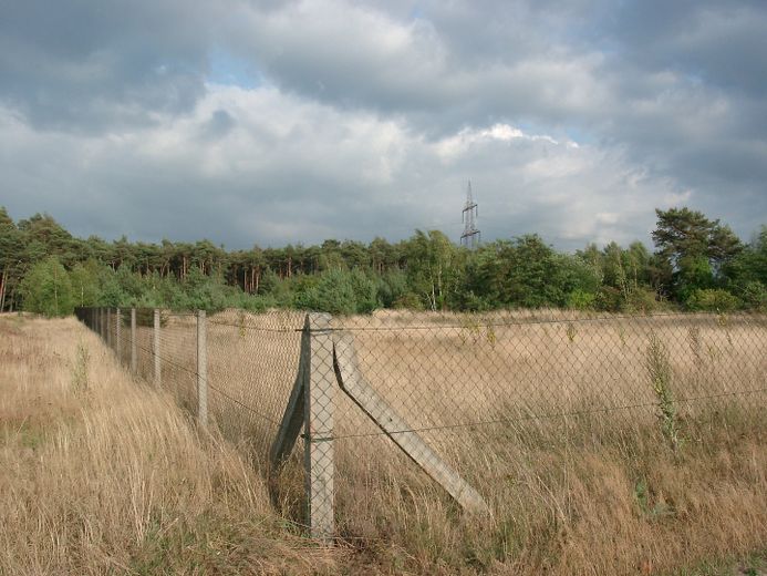
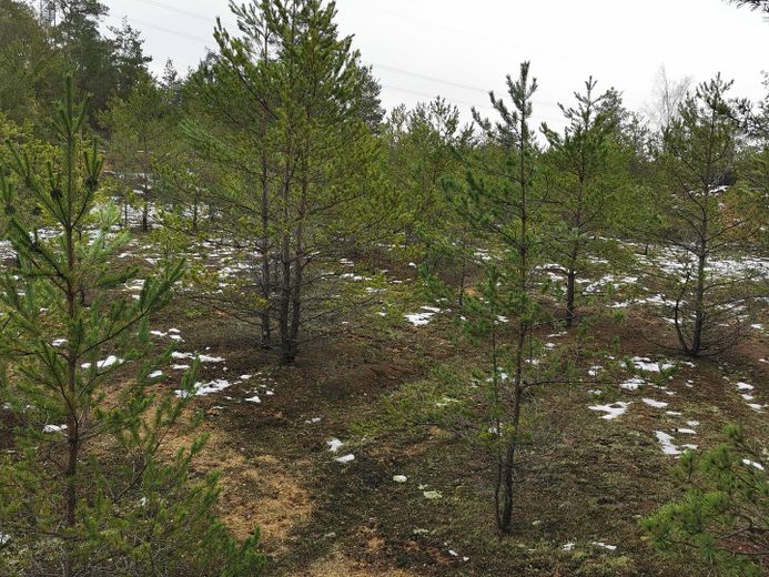
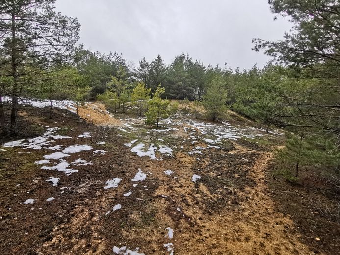
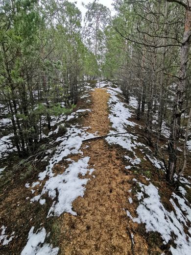
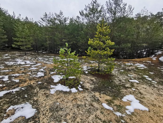
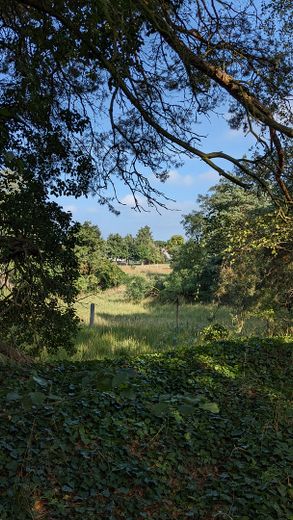
Naturfläche: 17.030 m², Wald, Heide, Biotop mit geschützten Tierarten
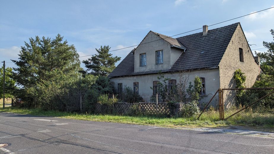
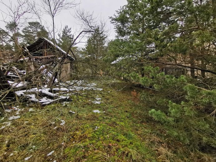
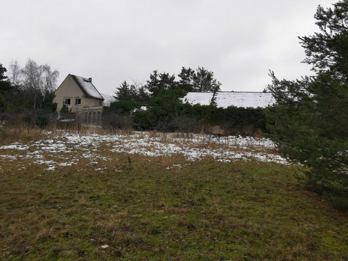
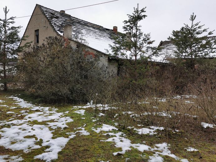
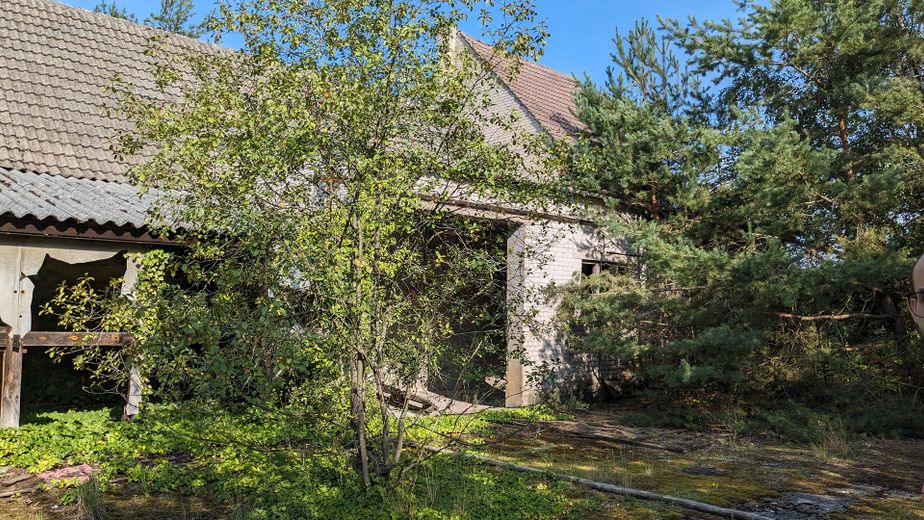
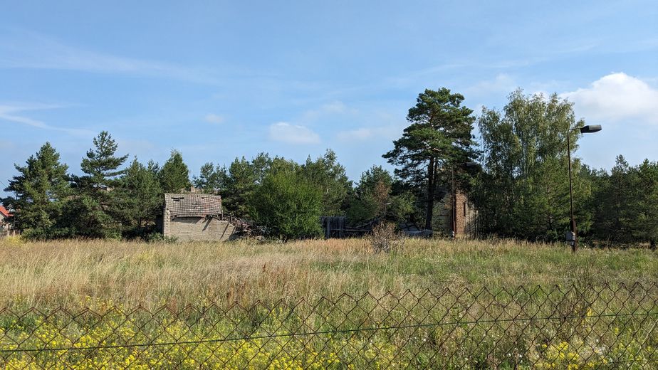
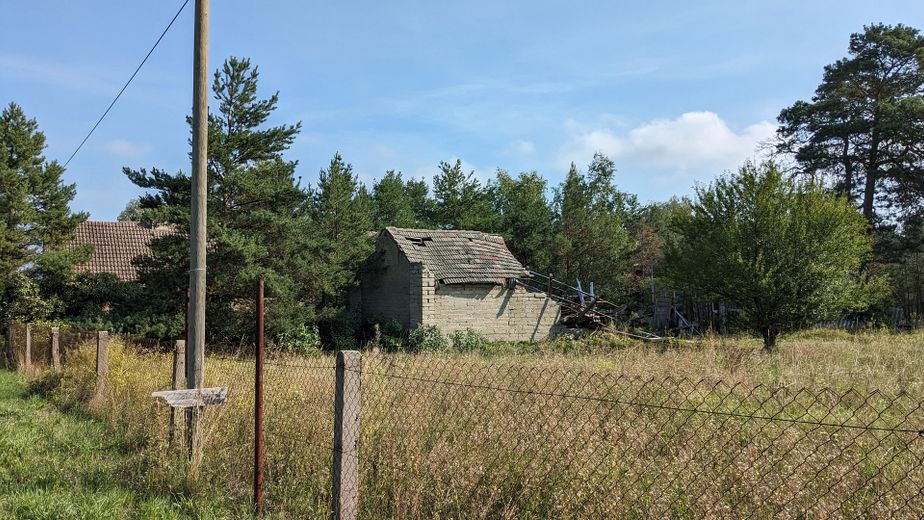
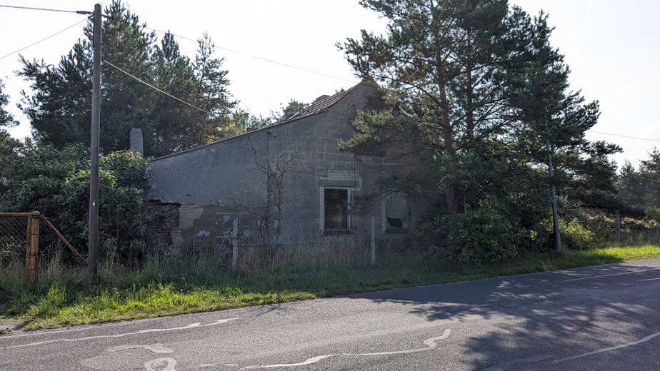
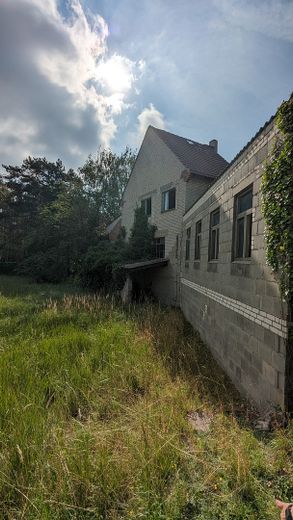
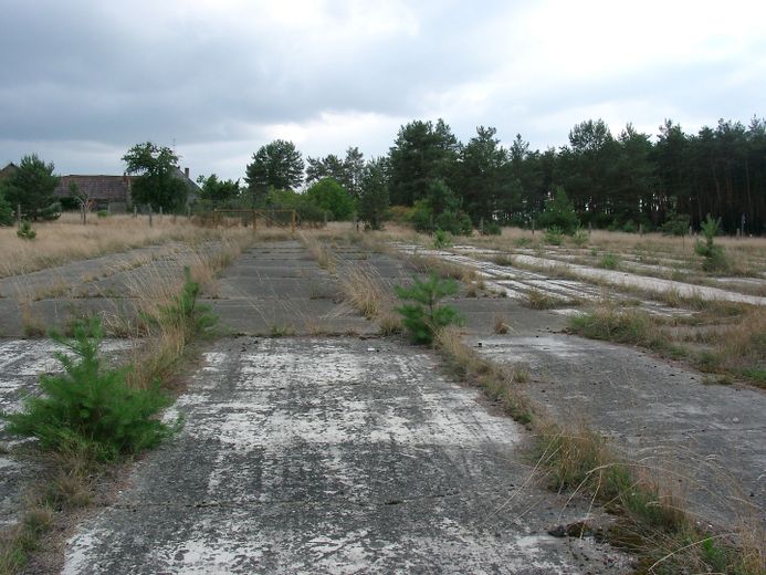
Das Grundstück in guter Dorfrandlage ist im vorderen Teil bebaut mit verschiedenen Abriss-Gebäuden (Baujahre 1930 bis 1970). Es wurde zu DDR-Zeiten teilweise als Gewerbefläche zum Kiesabbau genutzt. Keine Altlasten!
Eine Aufteilung der bebaubaren Fläche in Grundstücke für Einfamilienhäuser bietet sich an.
Ausstattung:
Das Grundstück liegt an einer ausgebauten Straße, ist voll erschlossen, hat Strom- und Wasseranschluss und ist an das öffentliche Abwassernetz angeschlossen.
Surroundings:
The district town of Herzberg, which was responsible for Oelsig until 1992, is a small town with many restored buildings from the Middle Ages. The train station has connections to the rail network to Berlin, Leipzig, Cottbus, etc.
Herzberg has numerous educational facilities, including the Philipp Melanchthon High School. One can find various supermarkets, banks and medical care facilities in the city. There are also numerous opportunities for recreation, including zoo, city park, botanical garden, planetarium, swimming pool and various sports clubs.
Oelsig as a district of the town of Schlieben is located about five kilometers south of the core town on the state roads 69 and 68.
The town of Schlieben is located in the south of Brandenburg, near the border with Saxony and Saxony-Anhalt and about 90 km south of Berlin.
It is the oldest town in the Elbe-Elster district and has been the administrative seat of the Schlieben office since 1992.
Schlieben looks back on a history of more than 1000 years. The town is characterized by extensive fields and viticulture, which began around 1510 and was intensified from 1991. Since October 2020, the town has had the official additional designation "Historic Wine and Cellar Town" on its place-name signs.
The Schliebener Land was originally much larger than the present-day Amt Schlieben and included 35 villages. The formerly independent villages of Frankenhain, Jagsal, Oelsig, Wehrhain and Werchau were incorporated into the Amt Schlieben on November 1, 2001.
Remarkable for Oelsig are its historical mills. Mills have been mentioned in the chronicles since 1515. At the end of the 18th century there was also a water mill in Oelsig, which still existed in the 1920s. In addition, the village had a trestle windmill.
Northeast of the village lies the Oelsiger Luch nature reserve, a 42-hectare raised bog that is up to 5 meters deep. Guided cycling and hiking tours through the moor are offered regularly.
Distances from the property:
-To the town center of Schlieben: 4 km,
-to the town of Herzberg: 9 km,
-to schools and other public facilities: 1 to 4 km
-to the A 13 freeway: 40 km
-to the federal road B 87: 4 km
-to the federal road B 101: 9 km